


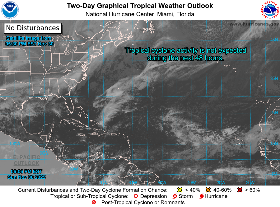

Gale force winds are forecasted in the West Atlantic beginning on December 15, lasting through December 15 noon, with seas ranging from 12-14 ft. A Gale Warning is also in effect for the East Atlantic's Madeira and Canarias zones, with peak seas reaching up to 22 ft near the Canary Islands. Significant swell events are occurring in the East Atlantic due to strong winds in the region, but are expected to subside by early Monday.
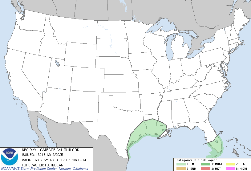
In the Gulf of America, scattered moderate convection and a high-pressure system are contributing to gentle to moderate winds, with a new cold front expected to enter the region by Sunday morning. This will bring strong winds and building seas.
The Caribbean Sea is experiencing strong to near-gale force winds in the south-central region, particularly off the coast of Colombia. A surface trough in the NW Caribbean is causing scattered showers and thunderstorms. A cold front is expected to enter the northwestern Caribbean by Monday, increasing winds and seas.
In the Atlantic Ocean, high pressure near 32N32W is leading to strong winds near the Canary Islands, contributing to large swell areas with seas exceeding 8 ft. A strong cold front is expected to move off the southeastern United States on Sunday, bringing strong to gale-force winds and building seas, affecting areas from Bermuda to the Bahamas.
December 13, 2025, at 1:15 PM ESTThe National Oceanic and Atmospheric Administration (NOAA) has forecasted an above-normal Atlantic hurricane season for 2025.
Named Storms: 13 to 19
Hurricanes: 6 to 10
Major Hurricanes (Category 3 or higher): 3 to 5
Accumulate Cyclone Energy (ACE): 95% to 180% of the median
This forecast indicates a 60% chance of an above-normal season, a 30% chance of a near-normal season, and a 10% chance of a below-normal season.
Hurricane season runs from June 1 through November 30Key: Active Past Future
*Press/click the storm name to view additional details2020 - 30 named storms, 14 hurricanes
Hurricane Katrina (2005) - $125 billion
Harvey (2017) - $125 billion
Hurricane Patricia (2015) - 215 mph (345 km/h)
Hurricane Allen (1980) - 190 mph (305 km/h)
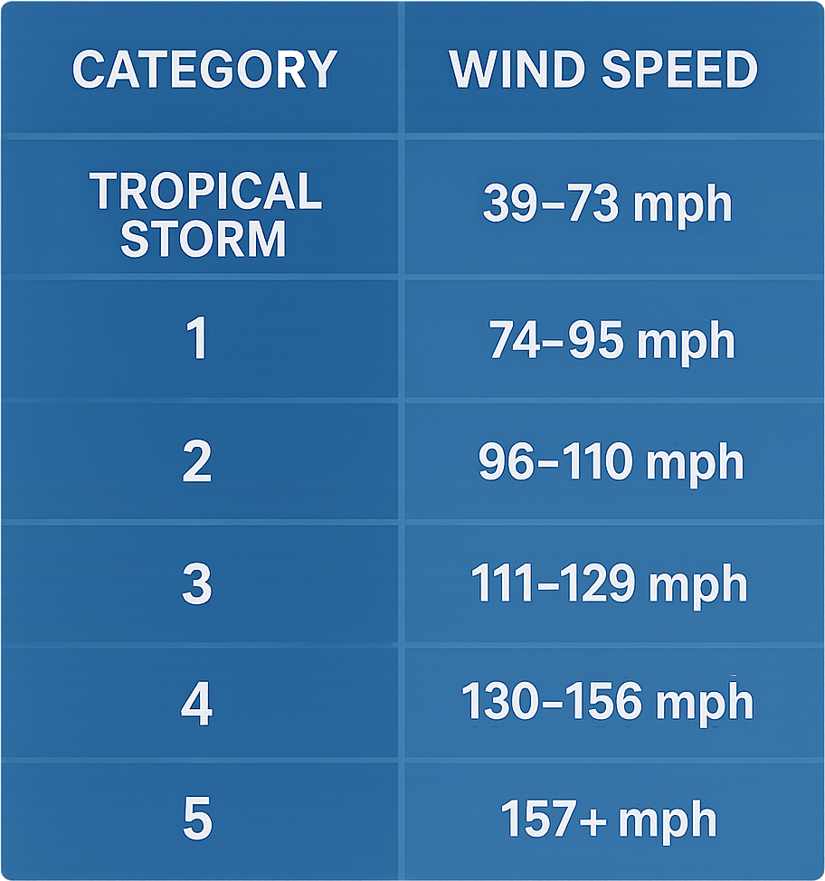
The Saffir-Simpson Hurricane Wind Scale is a 1 to 5 rating system that classifies hurricanes based on their sustained wind speeds and the potential damage they can cause. It helps communicate the intensity of hurricanes and the likely impacts on structures and environments. The scale does not account for factors like storm surge or rainfall, focusing only on wind speeds.
Watching the Tropics was originally built as a personal storm tracker with only the most important charts for the Atlantic hurricane basin. Numerous sites are available for tracking hurricanes, but Watching the Tropics minimizes extra "noise" and shows only what you need.
Designed in Florida by
"Watching the tropics" refers to monitoring tropical weather systems, such as tropical depressions, tropical storms, and hurricanes, in regions close to the equator. Meteorologists and weather enthusiasts often use this phrase during hurricane season to indicate that they're keeping an eye on developing weather systems that could potentially strengthen and impact areas like the Caribbean, Gulf of Mexico, and Atlantic Ocean.
Websites, news outlets, or weather services also use "Tropics Watch" to keep the public informed about the latest developments in the tropics, especially during peak hurricane season.
An "invest" refers to an area of disturbed weather that meteorologists are investigating for potential tropical development. The term "invest" is short for "investigation area."
When an area is designated as an invest, it is given a number (between 90 and 99) followed by the letter "L" for systems in the North Atlantic or "E" for systems in the Eastern Pacific. For example, "Invest 91L" would refer to the 91st area of interest in the Atlantic basin for that season.
The designation of an invest allows meteorologists to focus their resources on a specific area, utilize specialized forecasting models, and issue updates as needed.
A tropical depression is a type of tropical cyclone with maximum sustained winds of less than 39 mph (34 knots or 63 km/h).
Key characteristics:
It's the first stage of development in the tropical cyclone classification used by the National Hurricane Center, followed by tropical storm and then hurricane.